Note:
Tax Maps are not detailed maps of individual properties, nor are they "plats" or Location Drawings. Recorded plats are available at
plats.net or they may be filed with deeds at
MDLandRec. Location Drawings are not publicly recorded. You may need to consult with a professional land surveyor, depending on your circumstances.
Paper Tax Maps 2’ by 3’ in size, or Digital .TIF and .PNG Tax Map Images
How Do I Order Tax Maps?
Paper tax maps are
$25.00 per map, which includes processing, shipping and handling. Digital tax maps are
$10.00 per map and are available in .TIF and .PNG formats. The images are not georeferenced; they include legend and border information.
Tax Map Ordering System
Digital (.TIF and .PNG) tax map images are sent via email. Paper copies of tax maps are sent folded via First Class USPS mail at no additional charge. Please allow two business days for digital map fulfillment or paper map mailing. Note that tax map image mosaics are available to view as a map layer on FINDER Online as well. County map indices overlap, but the map content does not overlap between the counties. Be sure to order the map of your intended county.
About Tax Maps
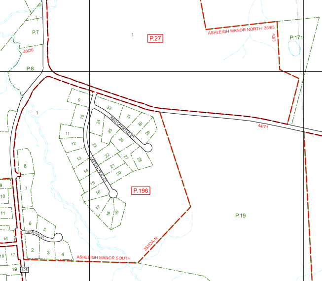
Tax maps are also known as tax assessment maps, property maps or parcel maps. They are a graphic representation of real property for general locational purposes. The maps' primary purpose is to assist in tax assessments. Federal, State and local government agencies use tax maps for a variety of analyses and decision making processes.
The Parcel Data & Mapping (PDM) unit is part of the Maryland Department of Planning (MDP)'s State Data and Analysis Center. PDM maintains electronic tax maps and generates paper tax maps for the 23 counties in Maryland. MDP has been performing this work since 1996. There are more than 2800 county tax maps. PDM manages these in a Geographical Information System (GIS) environment. Plats and deed changes are used to update the maps. The State Department of Assessments and Taxation (SDAT) provides the materials for the map updates. Parcels and subdivision lots are added during the map update. Tax assessment information is linked to the corresponding properties. Parcel point and polygon GIS data is a byproduct of the tax map update. This GIS data is foundational to many of MDP’s products and analyses. Tax maps are updated on a rolling basis by county. See the Production Schedule for more information. Baltimore City does not have tax maps. PDM does include parcel data for Baltimore City in its statewide GIS data.
An Important Note about Town Maps
Most paper tax maps are printed at a 600 feet per inch scale in non-town areas (400 feet per inch in Prince George's County). Parcels and lots are usually larger on these maps. Incorporated town areas maps are typically available at a 200 feet per inch scale. The properties included on these smaller scale maps are often not included on larger scale panels.
Please be aware of this difference when using online maps. You will need to check the county index map to locate the correct map number.
