2002 Legislative District Plan
Main_Content
as Ordered by the Court of Appeals, June 21, 2002
(Amended July 1, 2002)
All Links that are underlined contain active PDF files.
(District Boundaries are based on features as shown on Census\Tiger map. The Streets are based on State Highway Administration grid map. In some instances Census\Tiger line may not align with the SHA grid lines.)
|
|
|
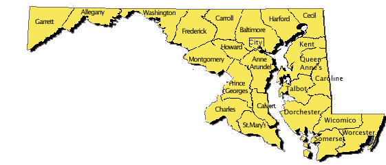
Click on a County on the map, or on the alphabetical list above:
|
